Advances in mobile phone technology have made it possible for citizens to contribute valuable data for ecological monitoring and scientific investigation. Citizen Scientist initiatives harness the massive numbers of people who are sportsmen and women, amateur naturalists and even the casual observer of nature, to submit observations and data that accumulate in a parallel database. These initiatives have broadened opportunities for public participation in science and have served to “demystify” the scientific process for the average citizen. Thanks to the internet and smart phones, data can be acquired, uploaded, evaluated, and accessed with amazing rapidity. Worldwide access to these data has served to encourage public participation in biological monitoring and has provided unprecedented opportunities for collaboration among scientists.
There is a long history of citizen scientist involvement in biological research. Arguably, the earliest example of this involvement is the Audubon Society Christmas Bird Count that provided information to establish bird migratory patterns in the U.S. Other more recent citizen scientist initiatives include the Great Backyard Bird Count, NestWatch, the ZomBee Project, Wildlife Health Event Reporter and MERCCURI (a bacterial diversity project). Citizen scientist volunteers are being successfully employed around the world to generate databases that would be logistically impossible and prohibitively expensive for most research project budgets.
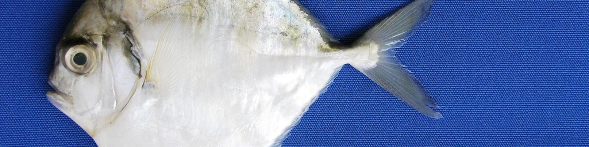
This project is a partnership between The University of Mississippi, The Center for Biodiversity and Conservation Research, The Mississippi Department of Environmental Quality and the Mississippi Department of Marine Resources. A central component of this partnership is the development of the Mobile App for Marine Assessment (MAMA). This app will provide the opportunity for scientists, both citizens and otherwise, to document marine resource issues in the Gulf of Mexico. Available free to download, the app user will be able to document via image and data entry, fish kills, invasive species, turtle/marine mammal strandings, bird entanglements, oil spills, etc. etc. Once a photo is taken, the image and data will be transmitted to a central data-base. We anticipate creating a long-term data base that will be useful in documenting natural resource trends that resource managers can use to track changes in the Gulf of Mexico and make recommendations to safe-guard those natural resources. We invite you to assist in the important task of documenting and protecting our valuable coastal and marine natural resources. Working together we can make the Gulf of Mexico a better place for all.
This project was paid for [in part] with federal funding from the RESTORE Council and the Mississippi Department of Environmental Quality under the Resources and Ecosystems Sustainability, Tourist Opportunities, and Revived Economies of the Gulf Coasts Act of 2012 (RESTORE Act). The data, statements, findings, conclusion, and recommendations are those of the author[s] and do not necessarily reflect any determinations, views, or policies of the RESTORE Council of the Mississippi Department of Environmental Quality.
![]()
![]()
![]()
![]()